Getting around
The metro, airport links, taxis and ferries from Piraeus.
6 guides
This category covers how you actually move around once you are in Athens: the metro network and its fares, reaching the centre from the airport, getting to Piraeus for a ferry, the island ferry network, and whether renting a car makes sense. It matters most for anyone staying more than a couple of days, or planning a side trip to the islands or a town outside the city, since the system is compact but not always obvious on a first visit.
The metro was built to connect specific points rather than blanket the whole city the way underground networks in some other capitals do. It links the tourist core, the airport, and a handful of interchange stations extremely well, which is why visitors tend to assume it covers everything. In practice, plenty of residential neighbourhoods sit some distance from a station, and getting between two points that are not both near a line usually means adding a bus, which runs to a different rhythm and feels less predictable than the trains.
Inside the old centre, walking is often the fastest way to get around, not because the area is small, but because narrow one-way streets and pedestrianised stretches can force a taxi or bus the long way round a route you could cover on foot. Many first-time visitors default to booking transport for distances that turn out to be a comfortable walk. That is different from saying the whole city is walkable: step outside this compact core and distances stretch quickly, at which point the metro or a bus becomes the better call again.
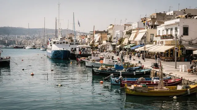
The logic shifts once more heading for the coast or Piraeus. The metro reaches Piraeus directly, the obvious choice for a ferry day, but coastal spots often sit away from a station and are better served by tram or bus, both following the coastline rather than cutting straight there, so a trip that looks short on a map can take meaningfully longer in practice.
The map will not tell you what a route feels like on the ground, either. Central Athens sits across gentle but persistent slopes, and much of the paved area around the Acropolis and the hills nearby is smooth marble or worn stone that turns slippery after rain or in worn shoes. In summer, heat radiating off stone streets and open squares makes short walks more tiring than the distance suggests, and shade is unevenly spread, so a route that looks direct on a map can be genuinely uncomfortable at the wrong time of day.
For one overview, start with the general getting around guide. For reaching the centre after landing, the airport comparison lays out the realistic options. Anyone sailing from Piraeus should read the port access guide alongside the ferries guide, which covers the island routes themselves. The metro guide covers line-by-line detail and fares, and the car rental guide is worth reading only if you plan to leave Athens itself, since a car adds little inside the city.

Athens airport to city centre: all options compared for 2026

Athens Metro guide: lines, fares, and tips for 2026

Athens to Piraeus port: how to get there without stress

Ferries from Piraeus: the complete island routes guide for 2026

Getting around Athens: the complete transport guide for 2026

Rent a car in Athens: agencies, tips, and driving advice for 2026
Explore related categories
Popular Athens tours on GetYourGuide
Verified deep-linked GetYourGuide tours. Book through these links and we earn a small commission at no cost to you.
GetYourGuide does not provide product photos: on its activity cards, the picture illustrates the type of experience and is not the operator's own photo.